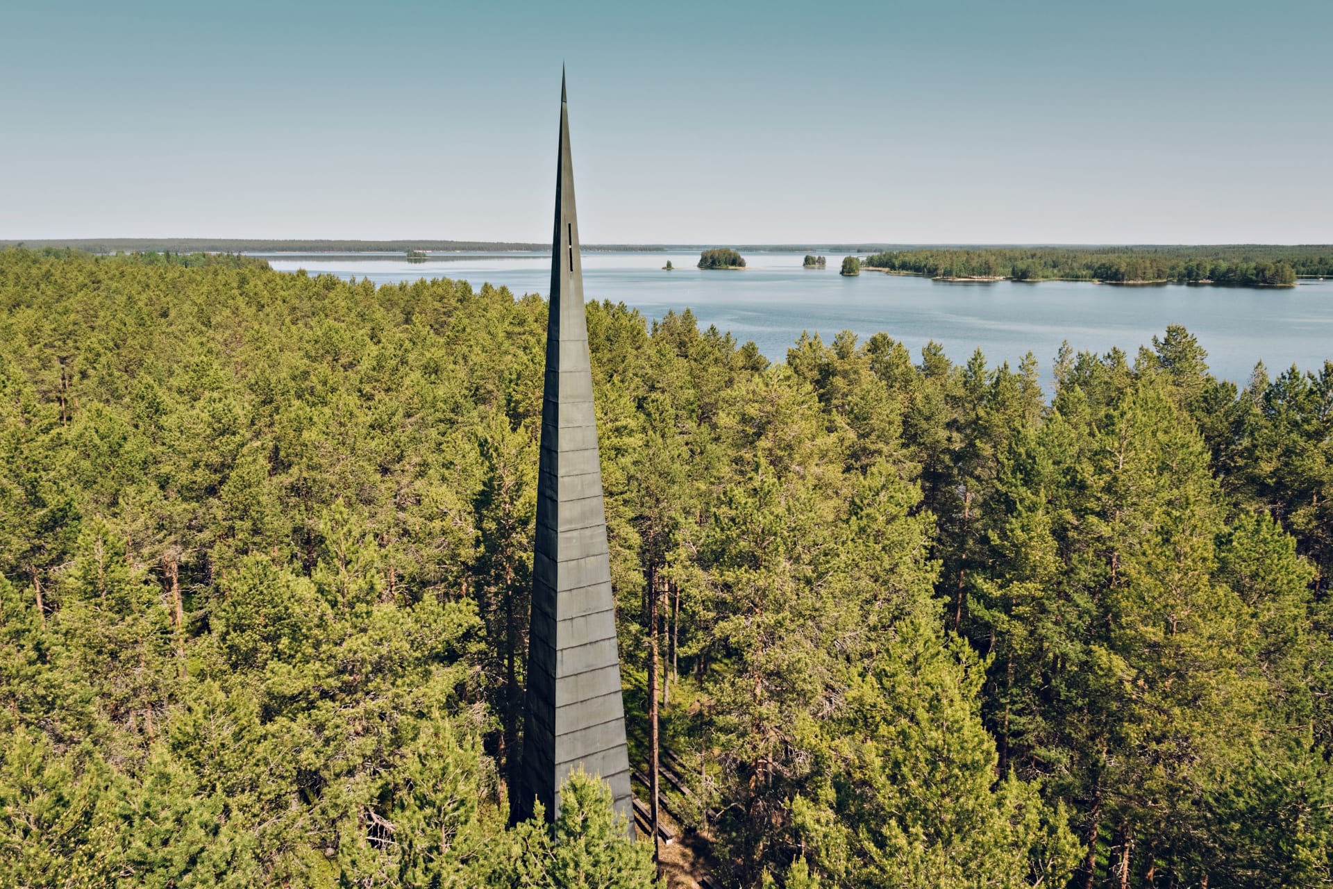
In the central part of Manamansalo there is an ice-age ridge that stretches across the whole of Kainuu Province and has more than thirty crystal-clear ponds. The island has over 80 kilometres of coastline with fine sand beaches. In the northern parts, the high sandy shores, the highest banks on the lake, rise to 30 metres.
The island was formed during the last Ice Age when glacial meltwater carried sand and gravel deposits. Just under 10,000 years ago the island was just a small sandbank. It began to take on its present shape and characteristics as the land continued to rise and the water receded.
Today, you can walk on some of the oldest bedrock in the European Union – almost three billion years old, on the island. Formations of gneissic rock, a remnant of geological upheavals and ancient continents, can still be found in Kilonniemi.
Named by Northern tribes
The name Manamansalo has a mysterious ring to it, and there are fascinating folk tales about the island’s origins. According to folklore, the island was born when a giant, in a fit of rage, took a large piece of land from Lake Kivesjärvi in Paltamo and carried it southwest. The giant threw some of the land away, or perhaps it fell into the lake from the tired colossus, and the island of Manamansalo was born.
Another story tells of a giant who wanted to cross the lake. To bridge the water, the giant placed a piece of land across the lake, which became the island. When the giant finally crossed the lake, some sand spilled out of the sack he was carrying and formed the Hiisiniemi area of Manamansalo.
Another story tells of two powerful men, Ukko Ylinen (“Old Man of Above”) and the Horned King, who scooped up a piece of land from Lake Kivesjärvi with a giant pitchfork and took it to the lake. The bow of their boat hit the land in Hiidenniemi and stopped their journey. Ukko Ylinen said: “May the devil take this point!” The piece of land they were carrying was left beside Hiidenniemi and became the island of Manamansalo.
It is also said that the devil scooped up part of Lake Kivesjärvi with a big pitchfork and threw it into the middle of the lake. This is why the island is similar in shape to nearby Lake Kivesjärvi.
The island’s name is said to come from the fact that Manamansalo was “the first place where Christ was worshipped in remote Kainuu”. However, it is more likely that the name comes from northern tribes who passed through the area and left their legacy in the place names of the region. Manamansalo therefore means “an island of sandy forests where it is easy to bury the dead”.
Raiders dig a channel through the isthmus
The first Christian church in Kainuu was built in Manamansalo at the end of the 16th century, but it was destroyed during the wars between Sweden and Russia between 1570 and 1595. Years of war, raids and persecution have left their mark on the life of the island. The story of the creation of the Kaivannonsalmi Canal is also linked to the old wars.
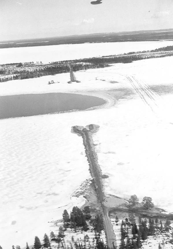
“The island used to be connected to the mainland by a narrow isthmus in the northern part of the island, but during the wars Russian raiders dug a channel through it. They frequented the shores of the lake and planned to raid as far as Oulu. To prevent this, an armed group of farmers from the Oulujärvi wilderness waited for the raiders at Alassalmi, the only waterway at the time to Vaala and down the river to Oulu.
However, the raiders learned of the ambush and rowed their boats into Kaivannonlahti Bay. In a hurry and with a heavy haul of booty, they began to dig a canal across the isthmus. The story goes that there were so many diggers that each man had to dig only a foot wide. When their work was done, they could float their boats to the eastern part of the lake. Later, the flooding of the lake widened the channel so that it became navigable for ships.” (Heikkinen 2007)
Island of traps and tar pits
In the past, Manamansalo was famous for hunting, fishing, tar burning and collecting of lichen from its barren pine forests. The island’s inhabitants also practised small-scale agriculture.
The vast lichen-rich forests have been popular deer migration routes known to hunters since the early Stone Age. The prehistoric times are remembered not only by the chains of trap pits found on the island, but also by many place names such as Iso-Peura (‘Big Deer’), Sokko-Peura (‘Blind Deer’) and Kota-Peuralampi (‘Tent Deer Bond’).
Tar burning became an important industry in the 19th century, and traces of old tar pits can still be found on the island. Tar boats passed the island on their way from the forests of Kainuu to Vaala and down the river, often taking shelter from the wind and rain in the nearby Kaivanto channel.
The most abundant species of lichen on the island, the star-tipped reindeer lichen, is popular for both ornamental and commercial use. The lichen was picked in the summer, and for many locals it was a summer job that provided an important income in the first half of the 20th century.


